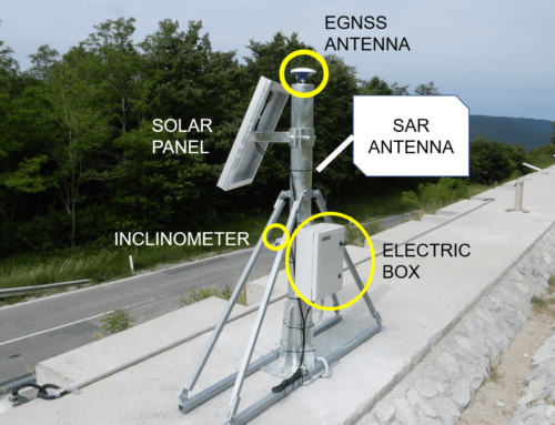
The GIMS project focuses on integrating three monitoring technologies (GNSS, InSAR and IMU/MEMS) in order to improve the monitoring of landslide.
Why landslides?
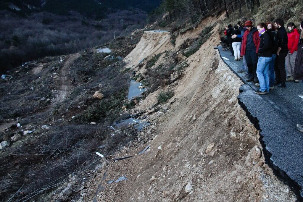
Landslides constitute one of the major geological hazard, many times triggered also by human activities (such as inappropriate intervention in slopes). A landslide is a gravitational movement of a mass of rock, earth or debris down a slope. They are classified on the basis of the material involved (rock, debris, earth, mud) and the type of movement (fall, topple, avalanche, slide, flow, spread).
Landslide hazards occur in many places around the world and include fast-moving debris flows, slow-moving landslides, and a variety of flows and slides. Some are caused also by volcanoes and earthquakes.
Landslide events result in human suffering, billions of Euros in property losses, infrastructure damage, and environmental degradation. With the growth in infrastructure development, urban housing, industry and tourism, also in areas susceptible for landslides and subsidence, the costs associated with these events will increase if no action is undertaken.
Therefore, a good understanding of the dynamics and behavior of landslides is crucial to reduce the landslide hazard and to develop appropriate mitigation measures.
Landslide identification
Identification of landslide prone area is basis for any prevention measures. Landslides could be identified by many approaches (statistic, deterministic or heuristic). Monitoring is essential to predict the extent of sliding area and the behavior of landslides. The first steps include preliminary work to study the archival materials, field work using ortophotos or DEMs, and to model the area.
Then the landslide investigation begins including: engineering geological mapping, longitudinal and cross sections, boreholes, trial pits, rock and soil sampling, field tests, geophysics are needed to complete the understanding of landslide composition and dynamic.
Landslide classification
Landslides are classified into different types on the basis:
- Material (rock, soil ) and its geotechnical properties
- Type of movement (fall, topple, slide, flow etc.)
- Rate of movement (very slow, slow, moderate, fast etc.)
- Activity (active, suspended, inactive, reactivated etc.)
- Water content (dry, wet, moist, saturated etc.)
- Geomorphic features (slope form, curvature, aspect, )
- Geometry of landslide body (depth, width, length etc.)
- Triggering mechanism (earthquake, rainfall, volcanic eruption, human factor etc.)
Let’s consider the movement type: according to this parameter we have the following classification:
Fall – Rockfall: a sudden downward movement of masses, such as rocks or boulders. Rockfall
stands for failure and detachment of rock fragments (single block, rock mass volume) followed by downward motion by free falling, bouncing and sliding.
Topple is recognized as the forward rotation out of a slope of a mass of soil or rock around a point or axis below the centre of gravity of the displaced mass.
Slide (rotational or translational slides): a slide is a downslope movement of a mass occurring dominantly on surfaces of rupture or relatively thin zones of intense shear strain. Sliding movement is typically progressive, rather than occurring across the entire rupture surface at once..
Lateral Spread: spread is an extension and subsidence of the fractured mass of cohesive material into softer underlying material. Spreads can often be triggered by rapid ground motion during an earthquake or mining. They differ from most other types of movement in that they can happen even on a flat terrain.
Flow: flow is a moving mass of loose mud, sand, soil, rock, water and air that travels down a slope (channel) under the influence of gravity. Some flows are very fast (e.g. debris flows) – these are the ones that attract attention.
The complex landslides are usually consist of:
- debris flows (fast)
- earthflows (slow, fast)
- rock avalanches (fast)

